
Vedetta di San Lorenzo
The Edge of the Karst: Finding the Vedetta di San Lorenzo
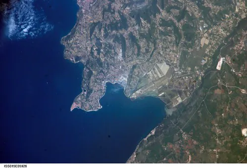
Living in Trieste requires an understanding of geography. Our city sits caught in a permanent tension between the deep water of the Adriatic Sea and the harsh, white rock of the Karst plateau. People often ask me if Trieste is worth going to, usually expecting a list of museums or grand cafes. I always say yes, but I direct them away from the immediate city center and up into the hills. The Vedetta di San Lorenzo is a natural limestone balcony on the edge of the plateau. It gives you a complete, unobstructed 180-degree sightline over the Gulf of Trieste. It is a quiet place that forces you to understand the true scale of this territory.
You can spend your morning taking a walking small-group food tour down in the city, tasting our complex local cuisine. By the afternoon, you need a different perspective. The Vedetta is where you go to digest the city visually. The air is thinner here, and the light reflects sharply off the sea.
Historical Context and Geographical Reality
The villages surrounding the Vedetta show exactly why visitors often wonder if Trieste is more Italian or Slovenian. Bilingual street signs and shared agricultural traditions define this area. During the 20th century, the high points along the Karst were strategic observation posts. The military saw the value in an unobstructed view of the maritime traffic entering the port. Today, these lookouts are peaceful public spaces.
The Vedetta is part of the broader Val Rosandra and Karst plateau ecosystem. The rock here is porous limestone, meaning surface water is rare. The vegetation is tough and resilient, adapted to survive the intense seasonal shifts. You can learn more about the specific environmental protections of this area on the official Discover Trieste portal, which maps out the region’s complex geological history.
The View
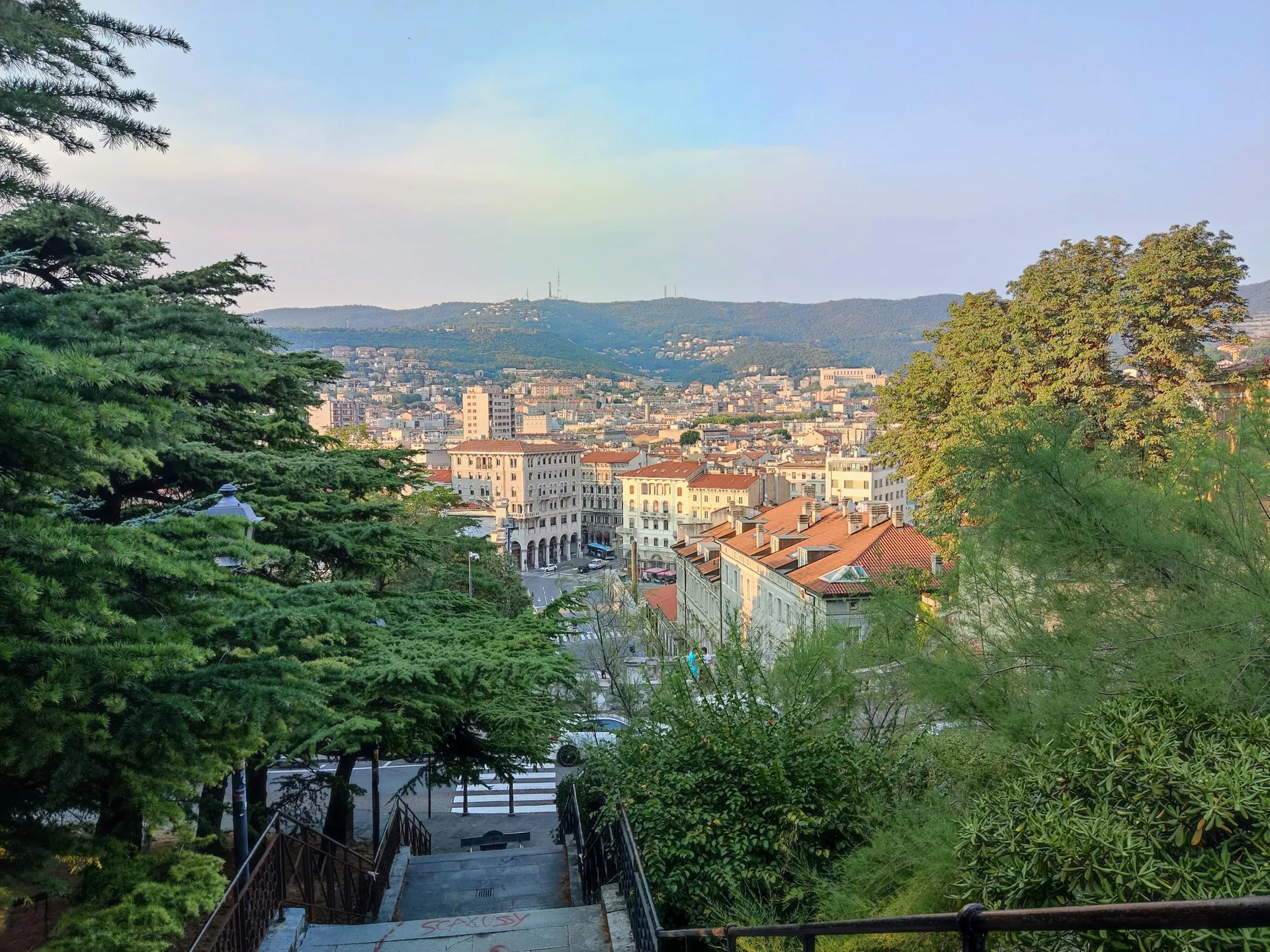
From the edge of the Vedetta, the geography of the region becomes completely clear. To your right, the white silhouette of Miramare Castle extends into the water. Below you, the dense grid of the city center meets the working docks of the commercial port. On a clear day, the snow-capped Alps are visible in the far distance, creating a sharp white line above the blue water.

Photography Guide
The light on the Karst is notoriously harsh during midday. The best time to photograph the gulf is the hour right before sunset. The limestone absorbs the warm light, turning pale orange, while the sea below darkens into a heavy navy blue. When you frame teh shot, try to include the sharp edge of the rock in the foreground to give the image scale. A wide-angle lens is necessary to capture the full sweep of the coastline.
If you prefer guided exploration, a digital walking tour guide can help you identify the specific historical buildings visible from this high vantage point.
Logistical Data: Getting There and Visiting
Reaching the lookout requires a short journey from the urban center. The site itself is entirely free to access year-round. For broader details on navigating the region, you can consult our Practical Info guide.
| Method / Category | Details | Important Notes |
|---|---|---|
| By Car | From Trieste Center via SS14 and SP11 to San Lorenzo. | Limited street parking is available in the village. Do not block agricultural gates. |
| Public Transport | Trieste Trasporti Bus Line 51. | Requires a short, rocky hike from the village bus stop to the actual viewpoint. |
| Best Time | Late afternoon to sunset. | Always check the weather. January is the coldest month in Trieste due to high winds. |
| Nearby Attractions | Grotta Gigante and Prosecco Village. | Ideal for pairing a morning cave descent with an afternoon panoramic hike. |
Hiking Trails and Local Etiquette
The Vedetta connects directly to the wider network of paths maintained by the local alpine club. The terrain is composed of loose stones and uneven rock shelves. Sturdy footwear is mandatory. You can find detailed topographic maps and trail conditions through the CAI Trieste Official site. The paths are rocky, and the Bora is a wind you really have to dress for.
When wind speeds escalate, the exposed edge of the Vedetta becomes dangerous. The Bora accelerates as it drops off the plateau toward the sea. Before planning your hike, you must check the wind warnings issued by the regional meteorological service. If the warnings are active, stay off the exposed trails.
Respecting the environment here means adhering to strict “Leave No Trace” principles. The Karst is a fragile ecosystem. Take all waste back to the city with you. After your hike, the local tradition is to find an osmiza—a temporary, farmer-hosted tavern—to drink a glass of local Vitovska wine and eat cured meats directly on the agricultural property where they are produced.
The Vedetta di San Lorenzo is not just a viewpoint; it is where the rugged soul of the Karst meets the serenity of the Adriatic.
Essential External Resources
To plan your excursion to the plateau safely and effectively, these local authorities provide the most accurate daily information.
- Grotta Gigante Official Site – For booking tickets to the massive underground cavern located a short drive from the Vedetta.
- Meteo FVG – The official regional weather service. This is the only source you should trust for accurate Bora wind alerts.
- Discover Trieste – The primary tourism board for current public transport schedules connecting the city center to the Karst villages.